See Hidden Areas With Drone Services & Photogrammetry
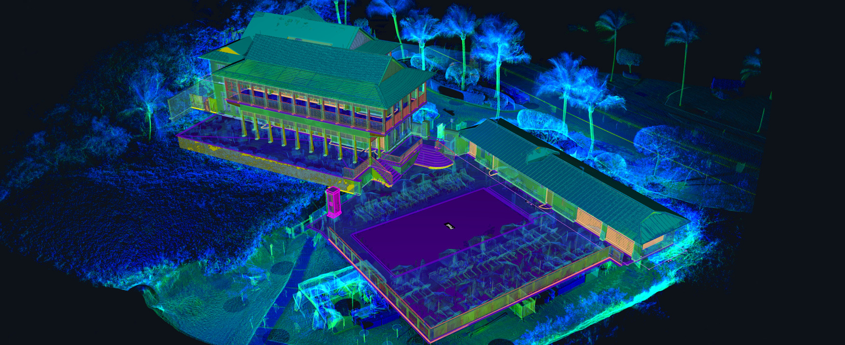
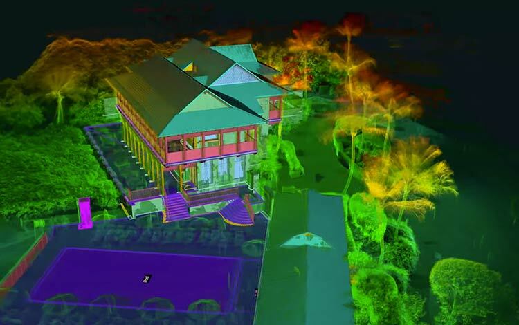
Designing based on outdated building plans and field measurements always has its challenges, but add in areas that you can’t see – like dangerous roof lines – and it becomes impossible. Whether it’s a dome-shaped roof, an incredibly tall building, or a sprawling campus, adding drone services, mapping, and photogrammetry can provide a more complete view of your project.
TrueScan’s team includes multiple Certified Remote Pilots through FAA Part 107 with extensive experience in surveying and scanning with commercial drones. These pilots utilize advanced drones to make sure TrueScan’s clients have every bit of information they need, regardless of capture difficulty.
Crosley Tower's Drone Photogrammetry
Your Project’s Journey from Scan to Reality
Average Price
$4,000-$12,000+
Prices vary based on many factors, read more about the factors that go into the price of your scanning service or get a quote today.
Average Timeline
2 – 6 weeks
With more precise details on the needs of your project, we can nail down an expected price and timeline.
Deliverables
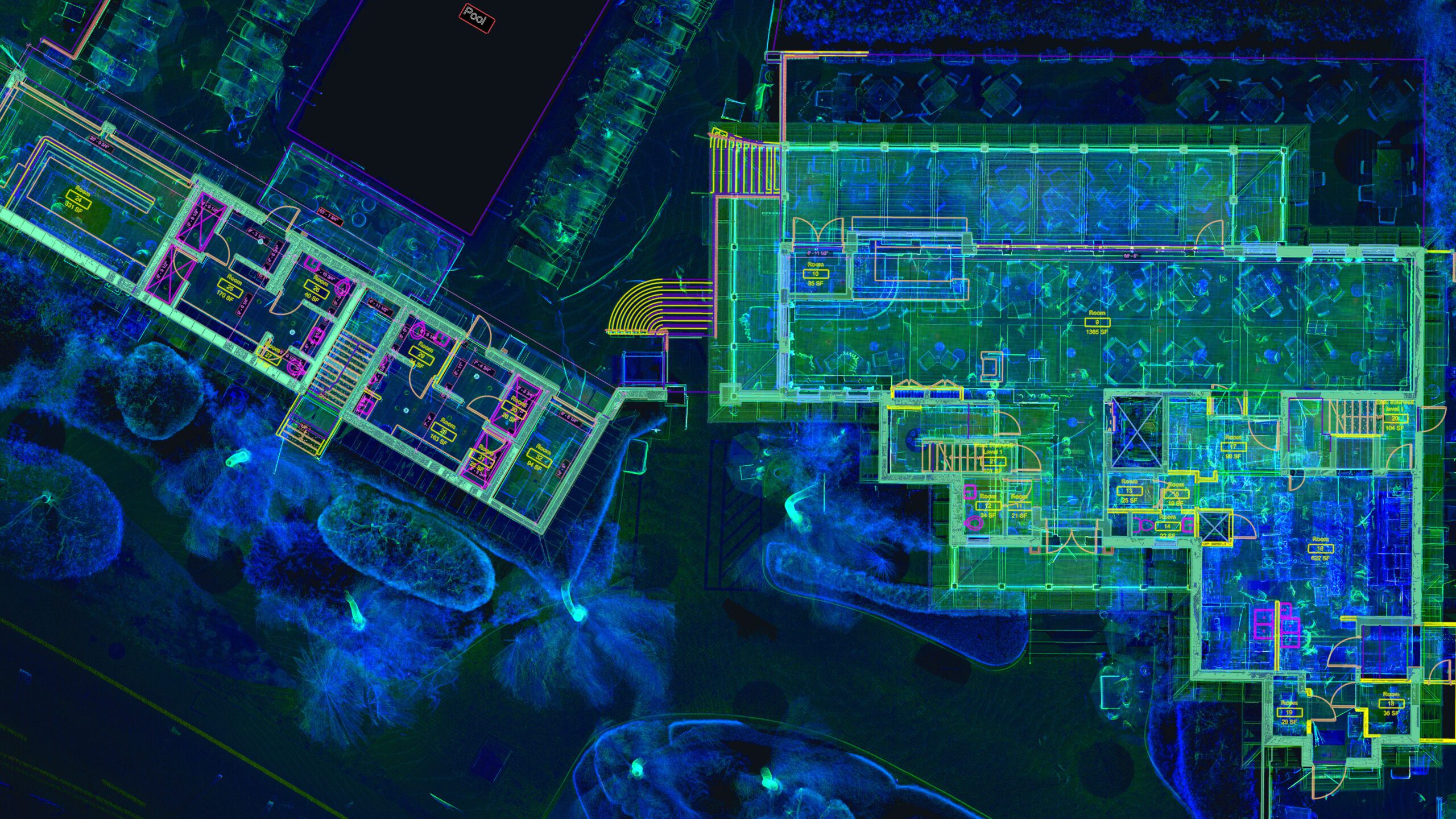
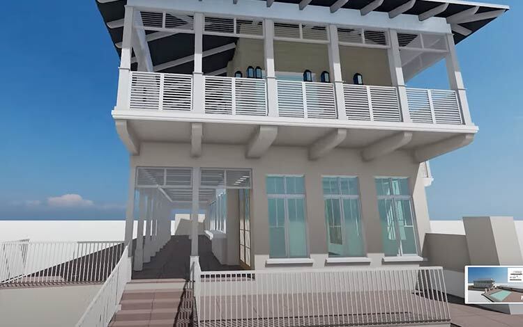
At the completion of this service, you’ll receive a comprehensive drone-captured scan of your existing building to capture areas you might not be able to safely access otherwise.
Benefits
- Provides a cost-effective snapshot of the project as it actually exist
- Latest and most accurate data
- Capture details of the project you wouldn’t otherwise be able to reach
- Increase safety by keeping people out of dangerous working conditions
- Reduce the need to enter high traffic areas
- Survey and capture much larger areas in a shorter time


