
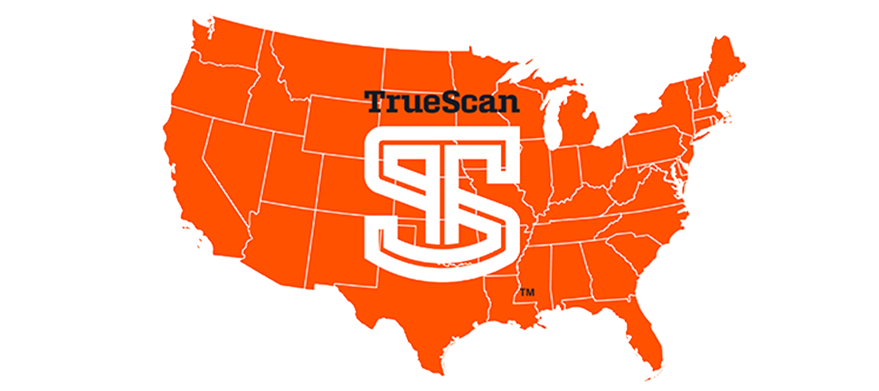
Our Nationwide Reach
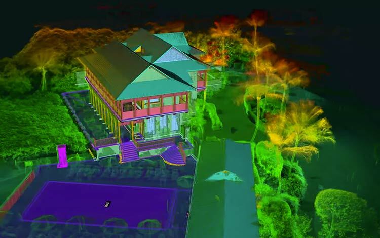
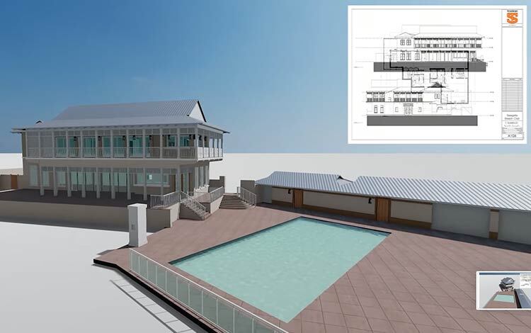
TrueScan is redefining the possibilities with 3D laser scanning and BIM modeling services, delivering precise as-built documentation and existing conditions data across the United States. Our expert teams are strategically positioned to serve clients in major metropolitan areas, ensuring efficient, high-accuracy data capture for architecture, engineering, and construction (AEC) professionals.
Get a Free Quote
Get a Free Quote
Need high-accuracy 3D scanning services in your area? Contact our team to discuss your project and receive a quote.
Nationwide Coverage, Local Expertise
We proudly serve the following key regions, bringing state-of-the-art scanning technology and industry expertise to project teams. However, our services are not limited to these cities. We operate nationwide, ensuring every project, regardless of location, benefits from cutting-edge scanning technology and expert industry insights.

Chicago, IL
Supporting high-rise developments, historic preservation, and commercial infrastructure.
Learn More

Atlanta, GA
Specializing in infrastructure, historic renovations, and commercial real estate.
Learn More
Columbus, OH
Delivering as-built documentation for commercial, healthcare, and roadway projects.
Learn More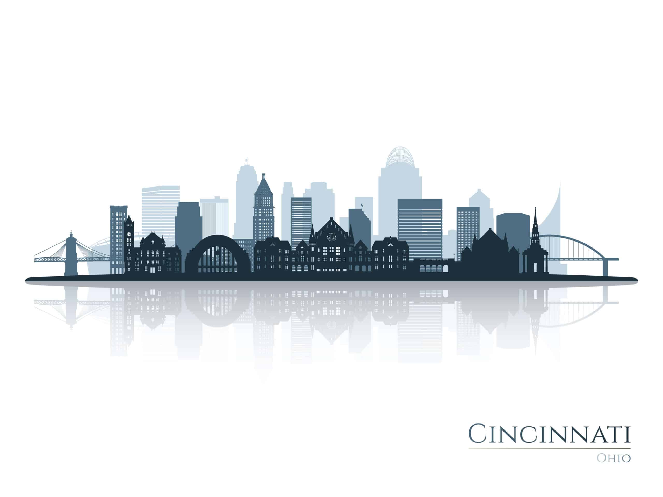
Cincinnati, OH
Offering BIM services for healthcare, entertainment, and historic preservation.
Learn More


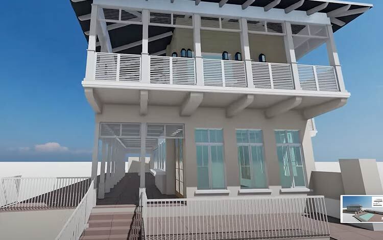
Our Specialty:
Building Documentation


Not Our Specialty

Small Objects

Documents

Reverse Engineering