
Historic Shaker Village Laser Scanning and Drone Survey Project in Kentucky
Kentucky’s Historic Bluegrass region
Historic Shaker Village Laser Scanning and Drone Survey Project in Kentucky
TrueScan provided 3D laser scanning, drone surveying, and traditional surveying services to document Shaker Village of Pleasant Hill in Kentucky’s Historic Bluegrass region.
The 3,000-acre site contains 34 original Shaker structures. TrueScan worked with Village leadership to establish a coordinated documentation system that addressed current preservation needs while creating a foundation for future data collection.
Project Facts
Location: Kentucky’s Historic Bluegrass region
Property Type: Historic village / National Historic Landmark
Services:
- 3D laser scanning
- Drone surveys
- Traditional surveying
- Survey control establishment
- Existing-conditions documentation
Size / Scope: 3,000-acre historic property with 34 original Shaker structures
Drone Survey Area: Approximately 56 acres
Areas Documented:
- Center Family Dwelling interior
- Center Family Dwelling exterior
- Historic stone facade
- Interior woodworking
- Majority of the historic structures
- Broader 3,000-acre property
Deliverables:
- Color terrestrial laser scans
- 3D point cloud
- High-resolution orthophoto
- Coordinated survey control
- Comprehensive 3D site documentation
The Challenge
Shaker Village needed accurate documentation that could support preservation efforts across a large historic property while also creating a consistent reference for future data collection.
The scope ranged from intricate architectural details within the Center Family Dwelling to dozens of structures and thousands of acres of surrounding property, requiring multiple documentation methods.
TrueScan’s Approach
TrueScan first established a survey control network using survey-grade GPS and conventional equipment tied to real-world coordinates. That network provided a common reference for the project’s different reality-capture methods and future documentation efforts.
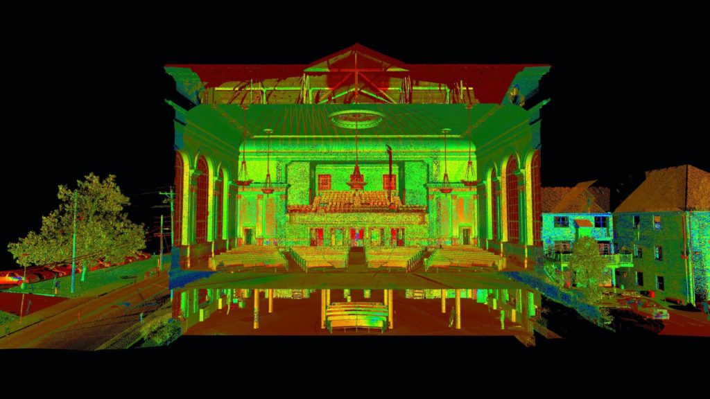
Terrestrial laser scanning was used to capture the Center Family Dwelling inside and out, including its historic stone facade and detailed interior woodworking.
TrueScan then conducted drone surveying across approximately 56 acres, producing a high-resolution orthophoto and 3D point cloud covering most of the historic structures. Existing aerial LiDAR from the state of Kentucky was incorporated to extend coverage across the full 3,000-acre property.
The Result
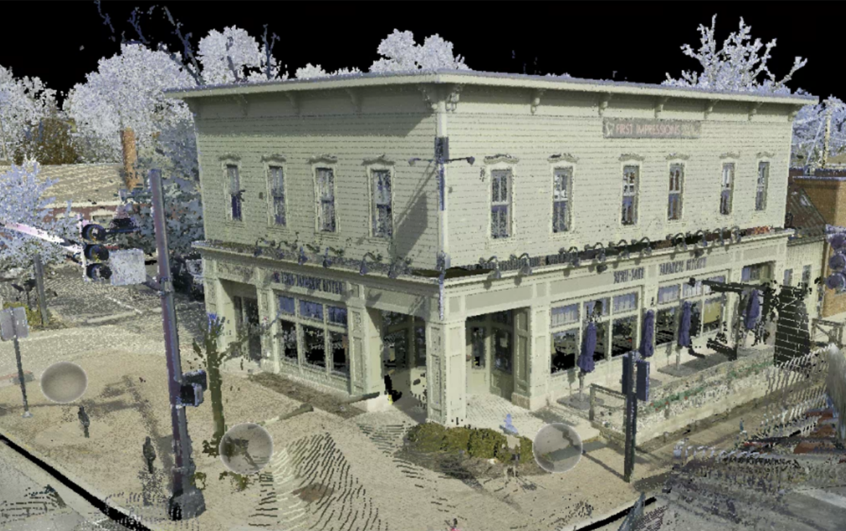
TrueScan combined the terrestrial scans, drone data, survey control, and statewide aerial LiDAR within a common coordinate system to create comprehensive 3D documentation of the property.
The coordinated dataset gave Shaker Village a detailed record of current conditions while establishing a consistent spatial framework that could support future documentation and preservation work.


Get a Free Quote
"*" indicates required fields
"*" indicates required fields