
30-Acre Aerial LiDAR and Laser Scanning Project in Powell, Ohio
Powell, Ohio
30-Acre Aerial LiDAR and Laser Scanning Project in Powell, Ohio
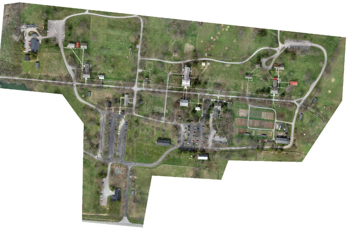
TrueScan combined aerial LiDAR, terrestrial laser scanning, and Scan to BIM modeling to document more than 30 acres of residential and commercial property in the historic downtown core of Powell, Ohio.
Project Facts
Location: Powell, Ohio
Property Type: Residential, commercial, public space, and urban infrastructure
Services:
- Aerial LiDAR
- Terrestrial laser scanning
- Drone surveying
- Scan to BIM / Revit modeling
- Existing-conditions documentation
Size / Scope: More than 30 acres of downtown Powell
Areas Documented:
- Residences
- Commercial buildings
- Parking lots
- Public parks
- Streets
- Sidewalks
- Wooded areas
- Site topography
Deliverables:
- Revit models of the buildings
- Topographical model/data
- Comprehensive existing-conditions data
The Challenge
Documenting more than 30 acres of an active downtown environment created several collection challenges.
TrueScan needed to capture dozens of commercial buildings, residential properties, large paved areas, parks, heavily wooded terrain, streets, sidewalks, and other site features within one coordinated dataset.
Roof access was particularly complicated. Coordinating access to dozens of commercial roofs would have required significant time and logistical planning, while residential roofs had to be documented entirely from ground level.
Large open areas and wooded portions of the site also made relying exclusively on terrestrial scanning inefficient.
TrueScan’s Approach
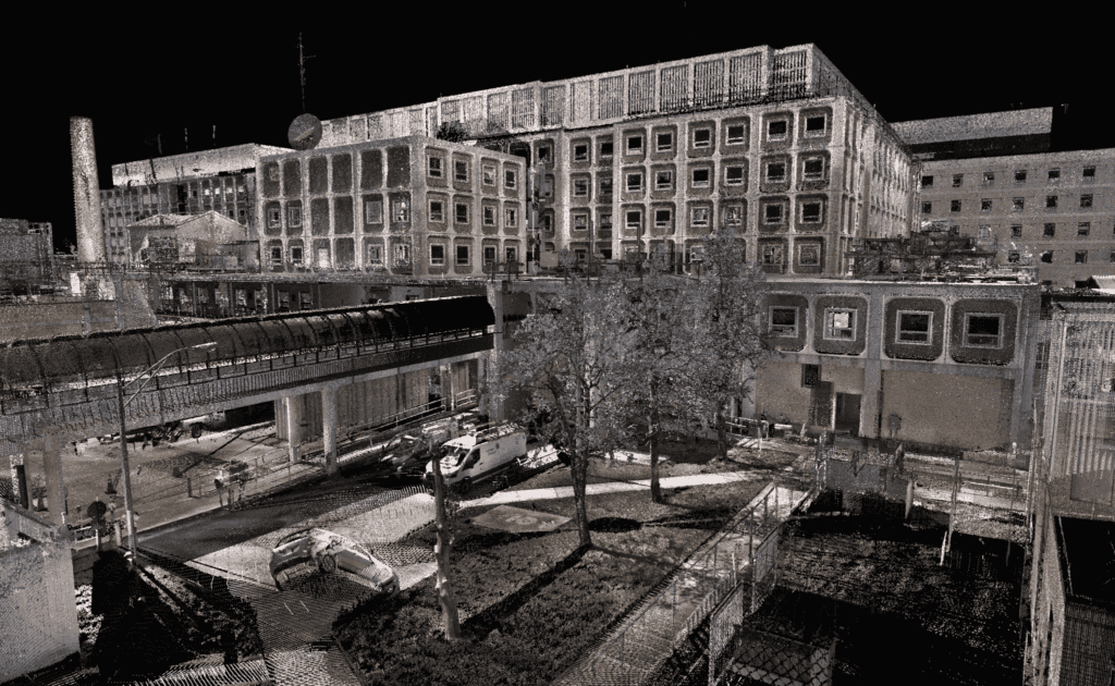
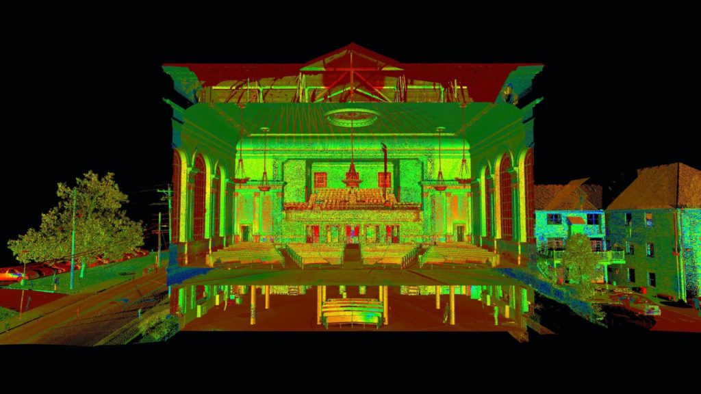
TrueScan used aerial LiDAR as the primary method for efficiently covering the 30-acre site and supplemented it with terrestrial laser scanning where additional ground-level detail was required.
This hybrid approach reduced the number of individual scan positions and roof setups that would otherwise have been necessary.
Instead of repeatedly breaking down and repositioning terrestrial scanning equipment to capture multiple rooflines and hard-to-reach areas, the drone captured the broader project area from above.
The aerial portion of the data collection was completed in less than one hour.
The resulting aerial and terrestrial datasets were then used to document the existing conditions across downtown Powell and support the creation of Revit models for the buildings and a model of the surrounding topography.
The Result
The resulting Revit models and topographical data gave the project team a detailed digital representation of downtown Powell to support future planning and design work.
By combining aerial and terrestrial reality capture methods, TrueScan was able to document a complex mix of buildings, infrastructure, open space, and terrain efficiently within one coordinated project.


Get a Free Quote
"*" indicates required fields
"*" indicates required fields