
VA Hospital Laser Scanning and Drone Survey Project in Gainesville, Florida
Gainesville, Florida
VA Hospital Laser Scanning and Drone Survey Project in Gainesville, Florida
TrueScan provided 3D laser scanning, drone surveying, and traditional surveying services for the VA Hospital campus in Gainesville, Florida.
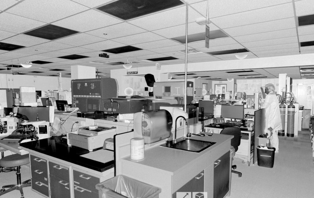
Working directly with the architect, TrueScan documented key interior building spaces, exterior facades, roofs, and site conditions using multiple reality-capture and surveying methods.
Project Facts
Location: Gainesville, Florida
Property Type: VA hospital campus / healthcare facility
Services:
- 3D laser scanning
- Drone surveys
- Traditional site surveying
- Existing-conditions documentation
Size / Scope: Hospital campus documentation completed over approximately two weeks
Scan Count: More than 1,000 scan setups
Areas Documented:
- Common areas
- Corridors
- Stairwells
- Interstitial spaces
- Exterior facades
- Building roofs
- Site features
- Property boundary conditions
Deliverables:
- Laser scan data
- Drone imagery and aerial site data
- Traditional survey information
- Coordinated existing-conditions data
The Challenge
The architect needed a broad understanding of both building and site conditions across the hospital campus.
No single documentation method could efficiently capture interior spaces, exterior facades, roofs, site features, and boundary information, so the project required multiple collection methods tied into one coordinated dataset.
TrueScan’s Approach
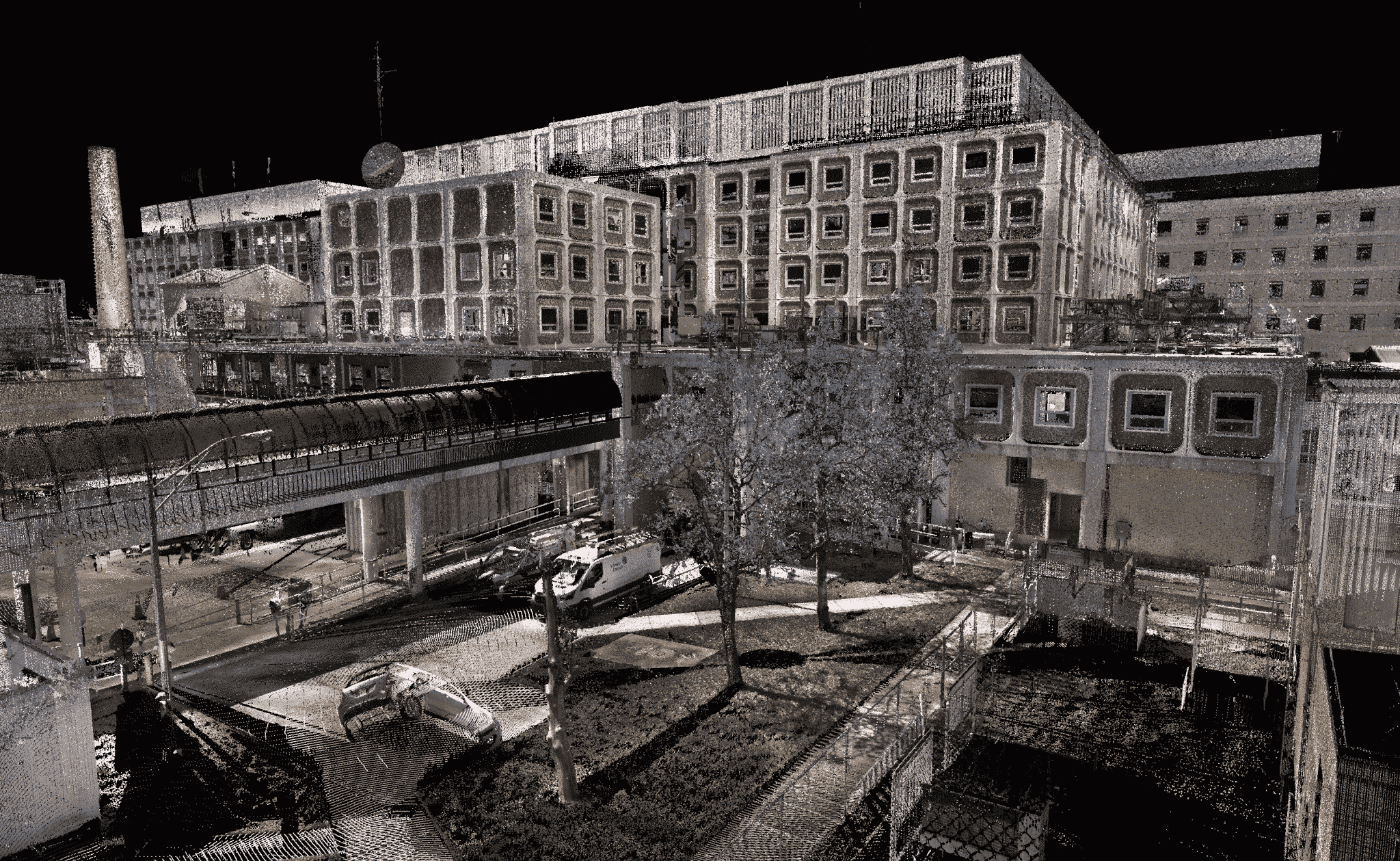
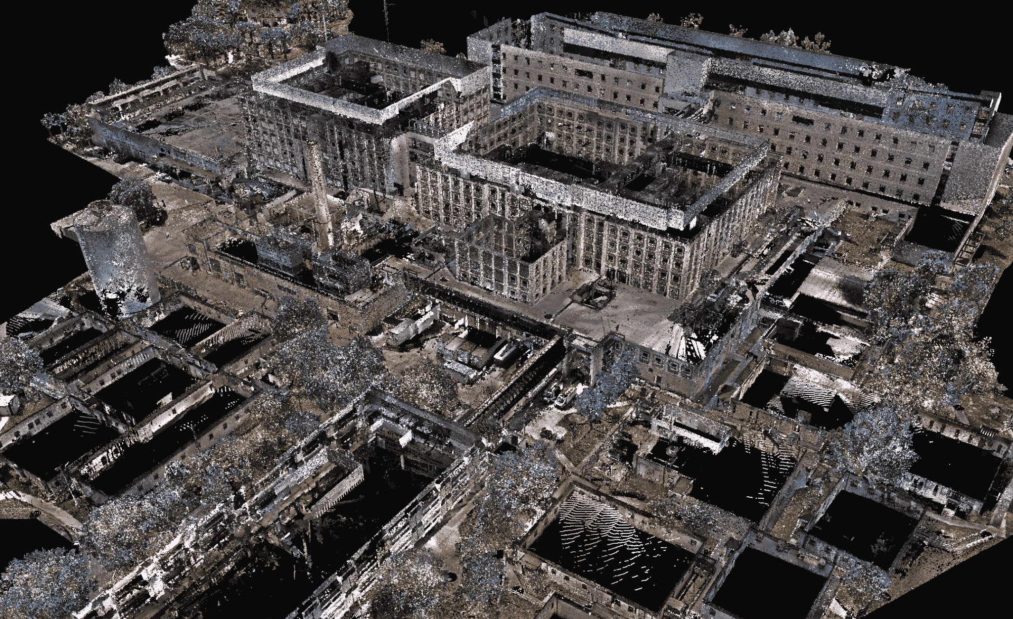
TrueScan used terrestrial laser scanning to document primary interior spaces and exterior facades, while a UAV captured roof conditions and additional site information.
Traditional survey methods were used to establish project control, collect boundary information, and document specific site elements.
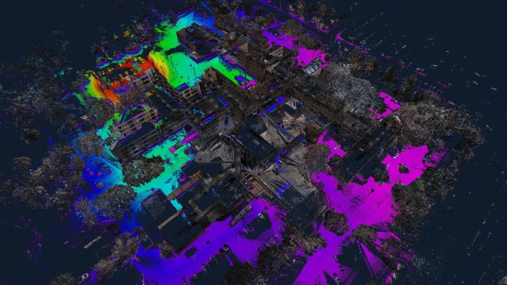
All three data sources were tied together to create a coordinated picture of existing building and site conditions. In total, TrueScan spent approximately two weeks on-site and collected more than 1,000 scan setups in addition to drone and traditional survey data.
The Result
The architect received coordinated building and site information from laser scanning, drone surveys, and traditional surveying, providing a more complete view of the hospital campus than any one method could have captured alone.

Get a Free Quote
"*" indicates required fields
"*" indicates required fields